Land Use Management and Urban Master Plan for the Algiers’ Wilaya
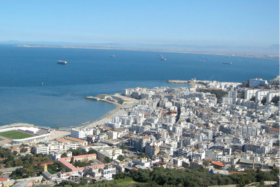
Capital of a vast country and city-metropolis with rapid population growth and changing land, the urban shape of the Algiers metropolis has evolved over the past decades, from a highly centralized structure, in which the old and colonial town played a polarizing role on employment and public and private functions, to an increasingly polycentric structure resulting from the urban and population expansion.
The study, covering 57 communes of the Wilaya d’Alger, aimed at structuring a new tool for strategic planning, land use management and restoration of the urban system of Algiers, essentially based on an accessibility network for public transport in proper place, on a network of urban multipurpose centres with different levels of hierarchy and articulation, on a more effective and efficient basic infrastructure and equipment, on new valorisation of the ecological network and public space, and on a better safeguard and a better integration in the metropolis of the spaces with agricultural potential.
CEDRU joined the national consortium responsible for preparing the study, and has participated actively throughout the various stages (diagnosis, Master Plan, Plan Project), focusing on issues such as demography, community facilities, territorial model, urban system and planning discipline.